
|
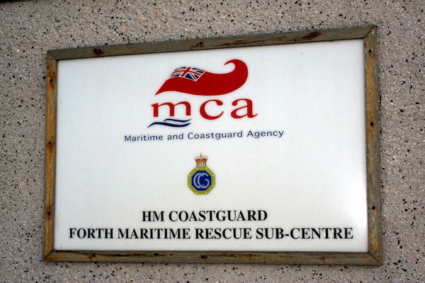
Forth Coastguard
THIS STATION CLOSED SEPTEMBER 2012
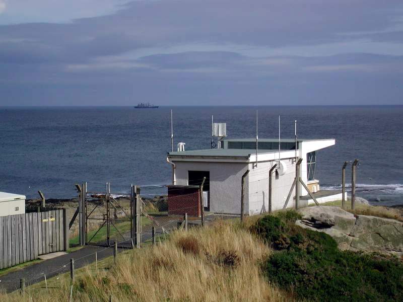
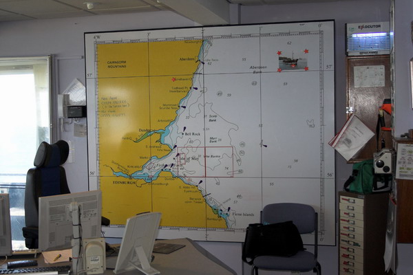
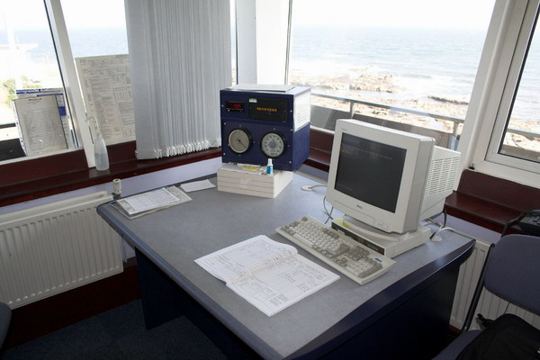
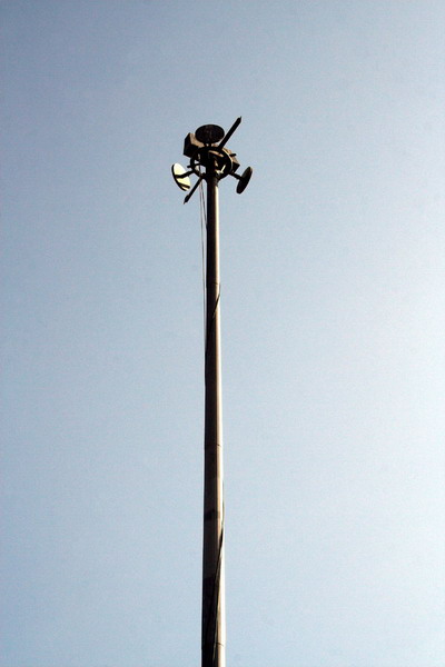
Forth Coastguard covers a sea area of approx. 2500 Square Nautical Miles and a coastline of approx. 344 Miles. Operational Area Doonies Point (Grid Sheet 45 904909) to English/Scottish Border (Grid Sheet 75 980756) Sectors Montrose - Doonies Point to East Haven St Andrews - East Haven to Seafield Granton - Seafield to Aberlady Bay Eyemouth - Aberlady Bay to England/Scotland Border. The following photographs were taken by, and are © Geoff Nr Belfast and should not be used elsewhere without his permission. Geoff would like to thank Forth Coastguard for their warm welcome and for making his visit most enjoyable. |
||
| Please click on the small image for a larger version. | ||
 |
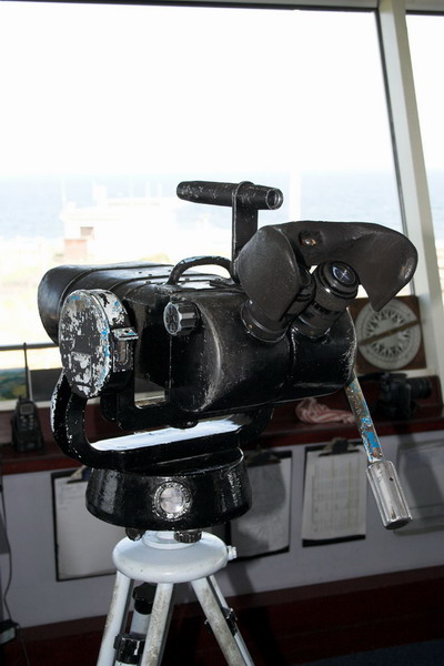
 |
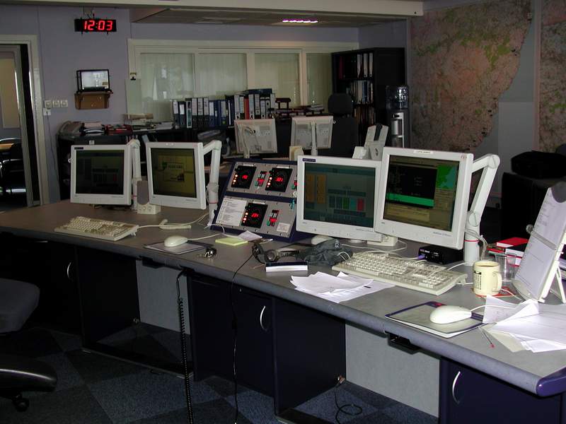 |
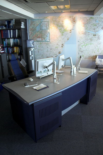
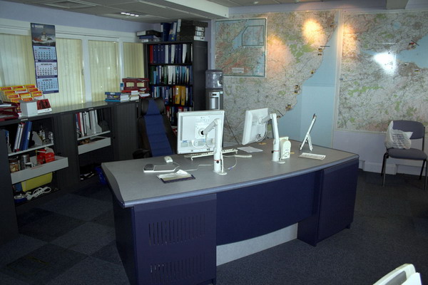
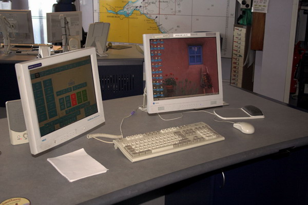
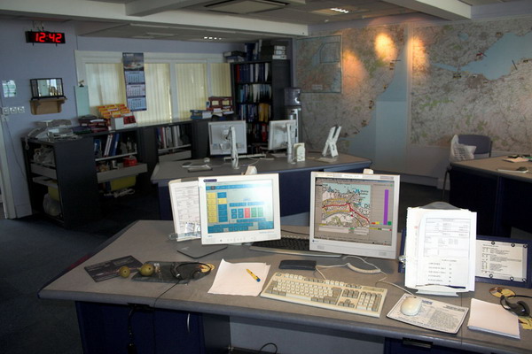
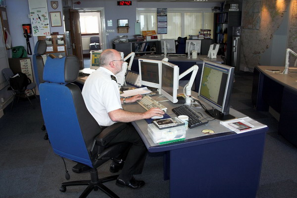
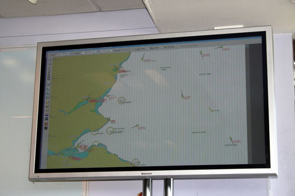
| Station name Plaque | Fife Ness Light | Main Operating Console |
 |
 |
 |
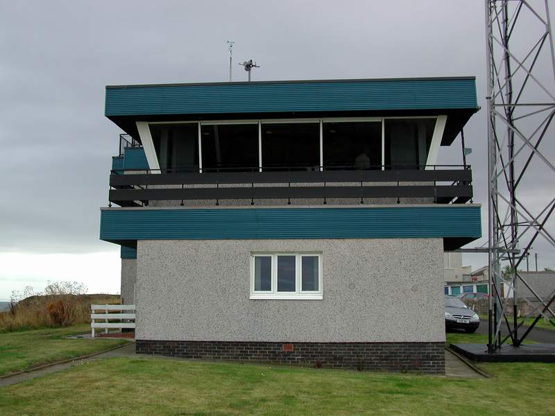
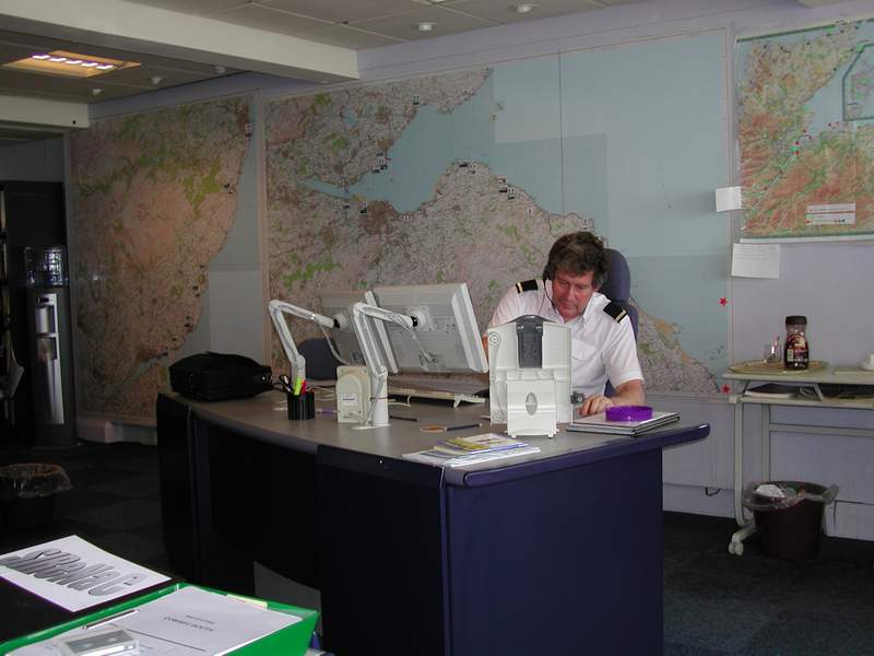
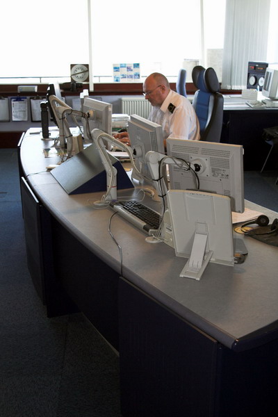
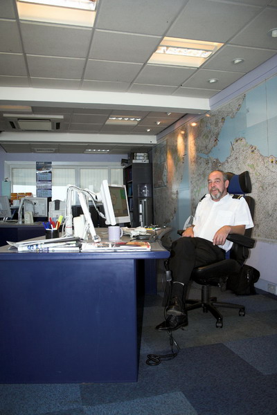
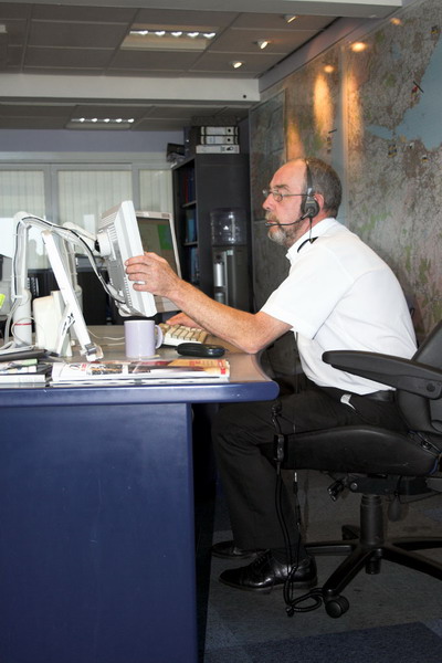
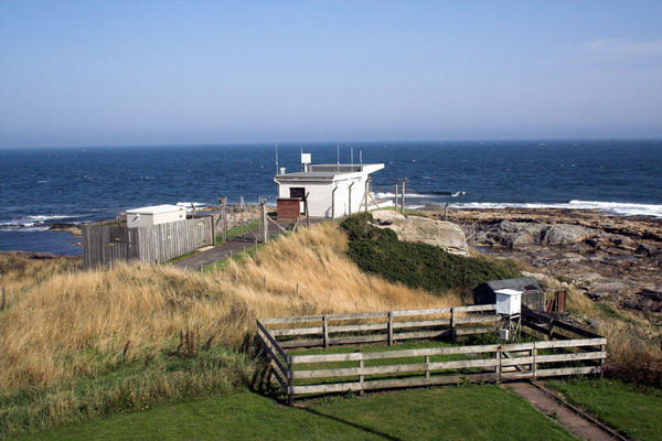
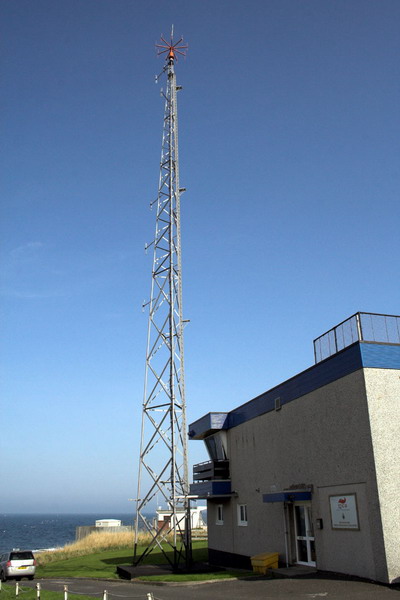
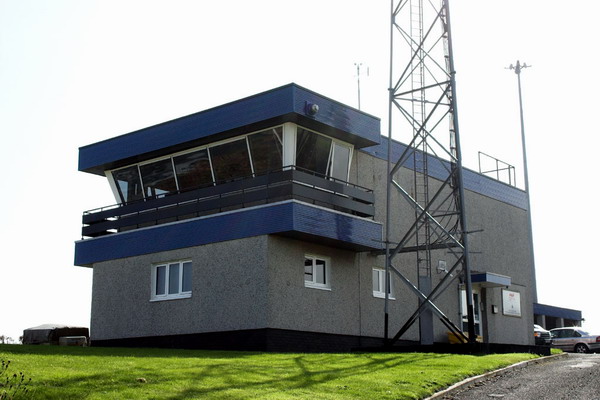
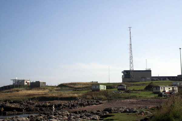
| External view of the station | Second Console operator at work | External side view of station |
The pictures below are © Keith Elgin (GI7SOB) |
||||
 |
 |
 |
 |
 |
|---|---|---|---|---|
 |
 |
 |
 |
 |
 |
 |
 |
 |
 |
 |
 |
 |
 |
 |
Click HERE to return to the UK Coastguard page
|
||||